Why Uttarakhand works
Uttarakhand, meaning "Northern Land" in Sanskrit, is a state in northern India bordered by Tibet to the north, Nepal to the east, and the Indian states of Himachal Pradesh and Uttar Pradesh to the west and south. It was carved out of Uttar Pradesh on 9 November 2000, initially under the name Uttaranchal, and took its present name in 2007 after sustained public pressure for a title with deeper historical roots; Dehradun serves as the winter capital, Bhararisain as the summer capital, and Nainital as the state's judicial capital, with the territory divided administratively into the Garhwal and Kumaon regions. Because the Himalayas cover most of its 53,483 square kilometres, Uttarakhand is often called Devabhumi, "Land of the Gods," for the density of Hindu temples and pilgrimage centres scattered through its mountains.
The region's political history took shape well before the modern state: between roughly the seventh and eleventh centuries, the Katyuri dynasty ruled from the Katyur valley in present-day Kumaon, leaving behind temple architecture that survives at Baijnath and the Jageshwar complex, before giving way to the Chand dynasty, which governed Kumaon for centuries from Champawat and later Almora. In the west, the Parmar dynasty gradually unified Garhwal's scattered fortified territories into the Garhwal Kingdom, ruled from Srinagar, and even as Garhwal and Kumaon developed as separate political entities, pilgrimage routes to shrines such as Badrinath, Kedarnath, and Jageshwar connected mountain settlements with the plains below, sustaining centuries of religious and trading exchange across the region.
Uttarakhand's geography rises in three broad bands: the Greater Himalayas in the north, home to Nanda Devi, India's second-highest peak, and glaciers including Gangotri, Pindari, and Milam; the forested hills, deep valleys, and river gorges of the Lesser Himalayas in the centre; and the Shiwalik foothills and Terai-Bhabar plains in the south, where Jim Corbett and Rajaji national parks preserve lowland forest and wetland habitat. The Ganges itself forms at Devprayag from the confluence of the Bhagirathi and Alaknanda rivers, while the Yamuna rises separately near Yamunotri, and together with their tributaries these rivers shape the region's valleys and support both agriculture and hydroelectric power. Forest covers about 45 percent of the state, ranging from alpine shrub and meadow above 3,000 metres down through conifer and broadleaf forest to the moist deciduous forest and grassland of the Terai along the Uttar Pradesh border.
This range of elevation produces sharply different seasons across short distances: winter, from October to February, brings heavy snowfall and sub-zero temperatures to the high Himalayan regions while lower elevations stay milder, in the range of about 5 to 20 degrees Celsius, and the pre-monsoon hot season from March to May can push valley temperatures into the mid-to-high thirties Celsius before the southwest monsoon arrives between June and September carrying most of the state's annual rainfall. Uttarakhand's rugged terrain means rainfall, snowfall, and wind patterns all vary considerably over short distances, a variability that also makes parts of the state vulnerable to landslides and flash floods during the monsoon.
Pilgrimage remains central to how visitors experience Uttarakhand, above all along the Chota Char Dham circuit of Yamunotri, Gangotri, Kedarnath, and Badrinath, four high-altitude shrines accessible only for part of the year, alongside Haridwar and Rishikesh further downstream on the Ganges, the latter long associated with yoga and meditation as well as pilgrimage. Beyond religious travel, the state's six national parks and additional wildlife sanctuaries draw visitors for trekking and wildlife viewing, led by Jim Corbett National Park, established in 1936 as Hailey National Park and among the state's principal destinations for wildlife safaris, and by the Nanda Devi and Valley of Flowers National Parks, which together form a UNESCO World Heritage property recognised for their alpine biodiversity. Hill towns such as Nainital, Mussoorie, Almora, and Ranikhet grew up as leisure destinations in their own right, while Auli serves as a centre for winter skiing and Rishikesh anchors river-based activities including white-water rafting on the Ganges.
- Uttarakhand — Wikipedia, CC BY-SA 4.0
Text adapted from the linked articles under CC BY-SA 4.0; edited for length.
Trip Snapshot
Highlights
Suitable For
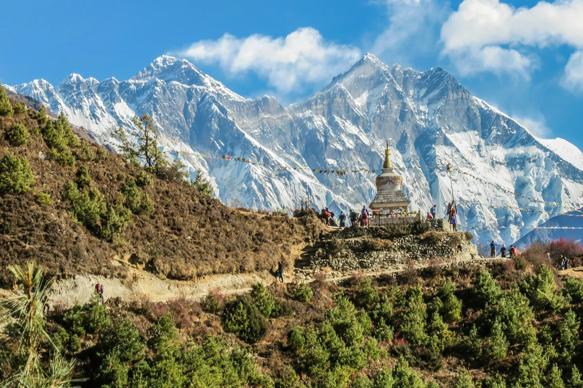
Uttarakhand, in frame
A quick visual sense of the landscapes, stays, and atmosphere your itinerary can be built around.
Build a Uttarakhand itinerary around your dates.
Share your travel month, group size, budget comfort, and must-do experiences. The Taro team will shape the right route before any payment conversation.