Why Tanzania works
Tanzania, officially the United Republic of Tanzania, sits in East Africa within the African Great Lakes region, bordered by Uganda and Kenya to the north, Mozambique and Malawi to the south, Zambia to the southwest, Rwanda, Burundi, and the Democratic Republic of the Congo to the west, and the Indian Ocean to the east. It formed in 1964 when Tanganyika, independent since 1961, merged with the Zanzibar Archipelago, independent since 1963, and the country today comprises around 120 ethnic, linguistic, and religious groups speaking more than 100 languages, making it the most linguistically diverse country in East Africa even though Swahili serves as its national language. The former capital, Dar es Salaam, remains the country's largest city, chief port, and commercial centre, while the seat of government has moved to Dodoma.
The region's human history runs deep: Tanzania has yielded important early hominid fossils, and successive waves of migration brought Southern Cushitic speakers ancestral to today's Iraqw people, Eastern Cushitic groups, Southern Nilotes such as the Datoog, and the iron-working Mashariki Bantu, who arrived from West Africa via the Lake Victoria and Lake Tanganyika basins as part of the broader Bantu expansion. Along the coast, traders from the Persian Gulf and India had contact with the Swahili Coast from early in the first millennium AD, and Islam took root there by the eighth or ninth century, while Omani Sultan Said bin Sultan later moved his own capital to Zanzibar City in 1840, making the island a hub of the East African slave trade before its abolition in the 1890s. Germany colonised the mainland as German East Africa from 1885, and after the First World War Britain administered it as Tanganyika under League of Nations mandate, with Zanzibar remaining a separate colonial jurisdiction until both territories gained independence and merged into a single republic.
Geographically, Tanzania holds both extremes of the African continent: Mount Kilimanjaro, at 5,895 metres, is Africa's highest point and the highest free-standing mountain above sea level anywhere in the world, while the floor of Lake Tanganyika, 1,471 metres below sea level, is the continent's lowest. Three of the African Great Lakes touch Tanzanian territory — Lake Victoria, the largest lake in Africa, to the north, Lake Tanganyika, the continent's deepest, to the west, and Lake Nyasa to the southwest — and the Kalambo Falls, on the Zambian border, form the second-highest uninterrupted waterfall in Africa. Most visitors experience this landscape through the northern circuit of national parks: the Serengeti, with its plains crossed each year by migrating wildebeest and zebra, the Ngorongoro Conservation Area, Tarangire National Park, and Lake Manyara National Park, alongside the separate world of Zanzibar's coastline and the Menai Bay Conservation Area offshore.
Climate varies sharply with elevation and coastline: temperatures in the highlands range between about 10 and 20 degrees Celsius across cold and hot seasons, while the rest of the country rarely drops below 20 degrees, with the hottest stretch falling between November and February and the coolest between May and August. Rainfall follows two distinct patterns — a single wet season from October to April across the south, centre, and west, and a two-peak pattern in the north, from Lake Victoria to the coast, driven by the seasonal shift of the Intertropical Convergence Zone. Tanzania holds around 20 percent of Africa's large mammal species across its 21 national parks and additional reserves and marine parks, is home to the largest lion population in the world, and is where Jane Goodall began her long-running study of chimpanzee behaviour at Gombe Stream National Park in 1960.
Visitor numbers to Tanzania grew substantially through the 2010s, and the northern circuit parks remain the most visited: Serengeti National Park alone drew over 450,000 tourists in a single recent year, ahead of Lake Manyara and Tarangire. Beyond the mainland safari circuit, Zanzibar draws its own share of visitors to its Indian Ocean coastline, and travel and tourism together make up a substantial share of the national economy and a large share of formal employment. Between the volcanic highlands of the northeast, the Great Lakes to the west, and the humid Zanzibar Archipelago offshore, Tanzania's geography does much of the work of explaining why it remains one of the continent's most-visited countries for wildlife travel.
- Tanzania — Wikipedia, CC BY-SA 4.0
Text adapted from the linked articles under CC BY-SA 4.0; edited for length.
Trip Snapshot
Highlights
Suitable For
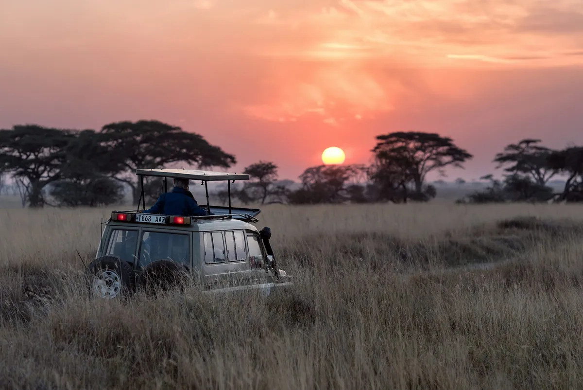
Tanzania, in frame
A quick visual sense of the landscapes, stays, and atmosphere your itinerary can be built around.
Build a Tanzania itinerary around your dates.
Share your travel month, group size, budget comfort, and must-do experiences. The Taro team will shape the right route before any payment conversation.