Why North East India works
Northeast India, officially the North Eastern Region, is the easternmost part of the country, made up of the "Seven Sisters" states — Arunachal Pradesh, Assam, Manipur, Meghalaya, Mizoram, Nagaland and Tripura — together with Sikkim. The region shares 5,182 kilometres of international border with China, Myanmar, Bangladesh, Nepal and Bhutan, and is linked to the rest of India only by the narrow Siliguri Corridor. Covering 262,184 square kilometres and home to more than 45 million people, Northeast India is also one of the most linguistically diverse regions anywhere in the world.
Early settlers here are believed to have included Austroasiatic speakers from Southeast Asia, followed by Tibeto-Burman speakers from China and, by around 500 BCE, Indo-Aryan speakers from the Gangetic Plains. For much of the first millennium CE the kingdom of Kamarupa covered most of the region, visited in the seventh century by the Chinese Buddhist traveller Xuanzang, and the northeastern states themselves largely took shape under British administration in the nineteenth and early twentieth centuries. Assam, Manipur and Tripura became part of independent India in 1947, with Nagaland gaining statehood in 1963, Meghalaya in 1972, and Arunachal Pradesh and Mizoram in 1987, before Sikkim joined the North Eastern Council as its eighth state in 2002.
Meghalaya's southern Khasi and Jaintia Hills are known for their living root bridges, structures grown over generations by training the roots of rubber fig trees across streams and rivers, a practice also found in parts of Nagaland near the Indo-Myanmar border, though it has become less common as floods and modern construction replace older examples. In Assam, Kaziranga National Park, a World Heritage Site on the edge of the Brahmaputra River, protects dense forest, tall elephant grass and marshland that together support populations of the Indian rhinoceros, Asian elephant, wild water buffalo, tiger and swamp deer.
Physiographically, the region divides into the Eastern Himalaya, the Patkai range and the Brahmaputra and Barak valley plains, with roughly two-thirds of its total area made up of hilly terrain rising from near sea level to more than 7,000 metres. Northeast India sits at the meeting point of the Indo-Malayan, Indo-Chinese and Indian biogeographic realms and, alongside India's west coast, holds some of the subcontinent's last remaining rainforest; the region also receives among the highest rainfall in India, averaging around 10,000 millimetres a year in its wettest parts, while Arunachal Pradesh and Sikkim have a cooler montane climate with snowy winters.
The region is rich in mineral wealth, and India's first oil well was drilled at Digboi in Assam in 1865, a discovery that marked the beginning of the country's petroleum industry. Fifteen species of non-human primate are found across Northeast India, including the hoolock gibbon, golden langur and stump-tailed macaque, alongside the Indian rhinoceros, all part of a faunal diversity that has made wildlife tourism, alongside the region's tea gardens and hill stations, an increasingly important part of its economy.
- Northeast India — Wikipedia, CC BY-SA 4.0
- Kaziranga National Park — Wikipedia, CC BY-SA 4.0
Text adapted from the linked articles under CC BY-SA 4.0; edited for length.
Trip Snapshot
Highlights
Suitable For
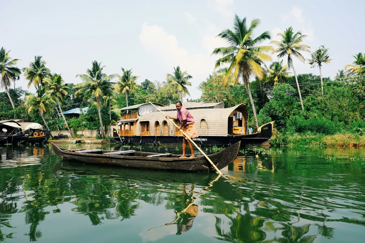
North East India, in frame
A quick visual sense of the landscapes, stays, and atmosphere your itinerary can be built around.
Build a North East India itinerary around your dates.
Share your travel month, group size, budget comfort, and must-do experiences. The Taro team will shape the right route before any payment conversation.