Why Munnar works
Munnar is a town in the Idukki district of the southwestern Indian state of Kerala, sitting at around 1,600 metres above sea level in the Western Ghats. Its name combines the Malayalam and Tamil words "munnu" and "aaru," meaning "three rivers," a reference to its position at the confluence of the Muthirapuzha, Nallathanni and Kundali rivers. Long an agricultural settlement built around its tea industry, Munnar has grown in recent decades into a hill station drawing visitors from across South India.
The Munnar region has been home to hunter-gatherer communities such as the Malayarayan and Muthuvan for thousands of years, and Tamil and Malayali workers were later brought in to staff the tea estates that came to define the area. Benjamin Swayne Ward carried out the first survey of the terrain in 1816–17, following the Periyar river into the Western Ghats and camping at the confluence of the three rivers that gave Munnar its name. Roughly fifty years later, the Governor of Madras, Sir Charles Trevelyan, sent Colonel Douglas Hamilton to explore the hill country for possible sanatoria and revenue-earning plantations, and within another fifteen years John Daniel Munro had identified much of Munnar's land as suitable for coffee; Munro and the brothers Henry and A. W. Turner subsequently acquired the Cardamom Hills from the Raja of Travancore and began clearing forest around Devikulam for cultivation.
Munnar's surrounding hills hold several protected areas that shelter what remains of the region's native wildlife after decades of habitat fragmentation from plantation development, including Eravikulam National Park and the Kurinjimala Sanctuary, along with the Chinnar Wildlife Sanctuary and Anamudi Shola National Park nearby. These reserves protect threatened and endemic species such as the Nilgiri tahr, the grizzled giant squirrel, the Nilgiri wood-pigeon and the Nilgiri langur, alongside elephant and gaur populations, and are especially known for the Neelakurinji, a shrub that flowers only once every twelve years.
Elevation across the Munnar region ranges from about 1,450 to 2,695 metres above sea level, and the area is classified under the Köppen-Geiger system as a subtropical highland climate; winter temperatures typically range between 5 and 25 degrees Celsius, with the Sevenmallay area having recorded lows as cold as −4 degrees Celsius, while summer temperatures stay between about 15 and 25 degrees. This cool, elevated climate is part of what has long made the surrounding hills suitable for tea cultivation.
Munnar lies on National Highway 49 connecting Kochi to Dhanushkodi, about 130 kilometres from Kochi and 60 kilometres from Neriyamangalam, and is reachable by road from Aluva, Ernakulam and Trivandrum as well as from Udumalaipettai in neighbouring Tamil Nadu. The nearest railway stations are at Bodinayakkanur in Tamil Nadu and at Ernakulam and Aluva in Kerala, while Cochin International Airport, about 110 kilometres away, is the closest airport, with Coimbatore and Madurai airports each around 165 kilometres from the town.
- Munnar — Wikipedia, CC BY-SA 4.0
Text adapted from the linked articles under CC BY-SA 4.0; edited for length.
Trip Snapshot
Highlights
Suitable For
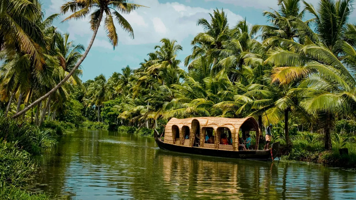
Munnar, in frame
A quick visual sense of the landscapes, stays, and atmosphere your itinerary can be built around.
Build a Munnar itinerary around your dates.
Share your travel month, group size, budget comfort, and must-do experiences. The Taro team will shape the right route before any payment conversation.