Why Chile & Easter Island works
Chile, officially the Republic of Chile, occupies the Southern Cone of southwestern South America, stretching more than 4,300 kilometres from north to south along a strip of land wedged between the Andes and the Pacific Ocean, yet only 350 kilometres at its widest point. It is the southernmost country in the world and the closest to Antarctica, bordered by Peru to the north, Bolivia to the northeast, and Argentina to the east, and among the longest north-south countries anywhere while being unusually narrow for its length. Chile also administers several Pacific islands, including the Juan Fernández archipelago and Easter Island, and, though suspended under the Antarctic Treaty, claims a section of Antarctica.
Roughly 3,510 kilometres west of the Chilean mainland lies Easter Island, or Rapa Nui, one of the world's most isolated inhabited islands — its closest inhabited neighbour, Pitcairn Island, sits nearly 2,000 kilometres away. Best current estimates place the island's Polynesian settlement in the twelfth century CE, likely around the same time as the earliest settlement of Hawaii, with oral tradition naming Anakena as the first landing site, though radiocarbon dating suggests other sites, especially Tahai, may have been settled even earlier. The island itself is small and triangular, about 24.6 kilometres long and 12.3 kilometres at its widest, with a maximum elevation of 507 metres and three freshwater crater lakes but no permanent rivers.
Easter Island is renowned for its moai, nearly 1,000 monumental stone statues carved by the Rapa Nui between roughly 1100 and 1680 CE, almost all of them cut from volcanic tuff at a single quarry on the side of the extinct volcano Rano Raraku using stone hand chisels; a single statue took a team of five or six carvers about a year to complete, and each represented the deceased head of a lineage. UNESCO named Easter Island a World Heritage Site in 1995, with much of the island now protected within Rapa Nui National Park, and Spanish is the island's official language, making it the only territory in Polynesia where that is the case.
On the mainland, Chile's position within the Pacific Ring of Fire and its extraordinary length produce a wide range of climates and landscapes across its territory. Easter Island's own climate sits at the border of tropical rainforest and humid subtropical, with mild winters, a lowest recorded temperature around 15°C in July and August, a summer high near 28°C in February, and rainfall spread through the year, heaviest in May; its isolated mid-ocean position, well outside the paths of both cyclones and the Intertropical Convergence Zone, keeps temperatures relatively moderate year-round.
Chilean cuisine on the mainland reflects the country's topographic range, drawing on seafood, beef, and a wide variety of fruit and vegetables in dishes such as asado, cazuela, empanadas, humitas, pastel de choclo, and curanto. The dish crudos illustrates Chile's layered culinary influences directly: raw minced meat and heavy use of shellfish trace to native Quechua Andean cuisine, lemon and onion arrived with Spanish colonists, and mayonnaise, yogurt, and beer came with German immigrants — a fusion that runs from the Andes to the Pacific coast, and out to Chile's remote Pacific territories. A total of 887 moai have been inventoried on Easter Island and in museum collections worldwide, most of them torsos rather than full figures, and only about a quarter were ever moved from the quarry to their intended platforms.
- Chile — Wikipedia, CC BY-SA 4.0
- Easter Island — Wikipedia, CC BY-SA 4.0
Text adapted from the linked articles under CC BY-SA 4.0; edited for length.
Trip Snapshot
Highlights
Suitable For
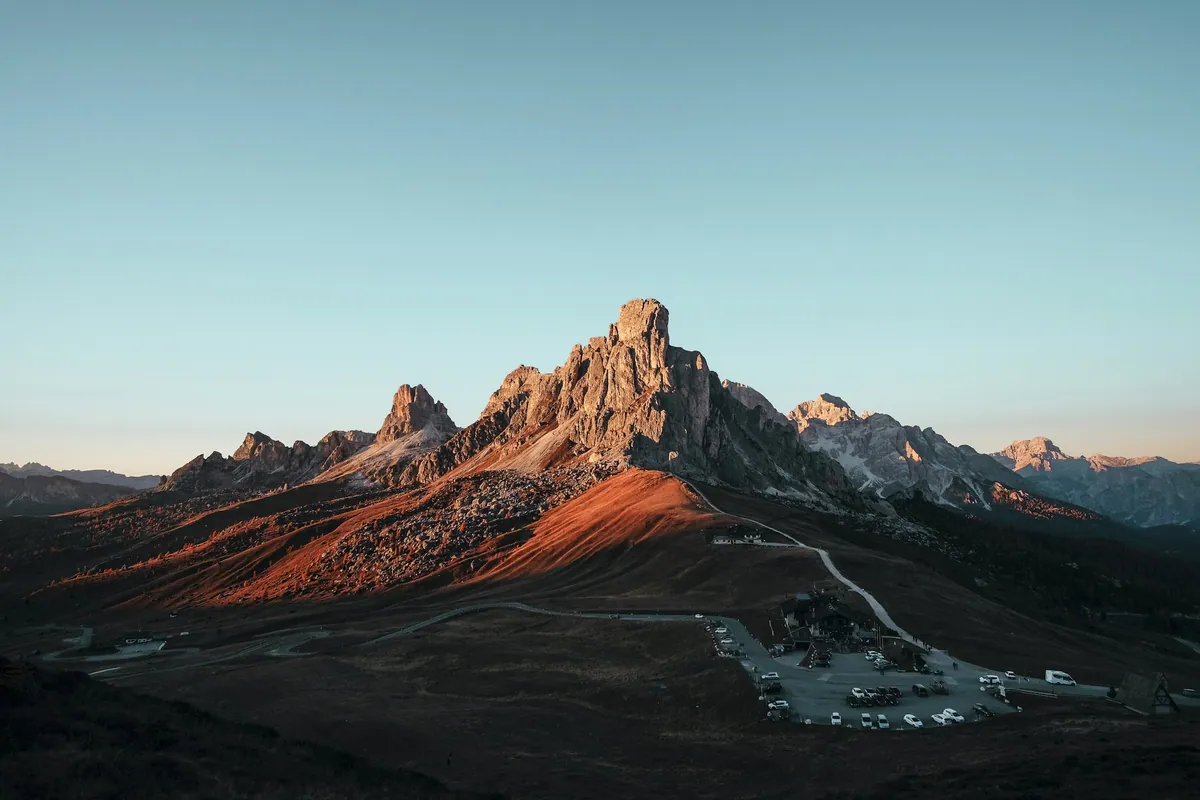
Chile & Easter Island, in frame
A quick visual sense of the landscapes, stays, and atmosphere your itinerary can be built around.
Build a Chile & Easter Island itinerary around your dates.
Share your travel month, group size, budget comfort, and must-do experiences. The Taro team will shape the right route before any payment conversation.